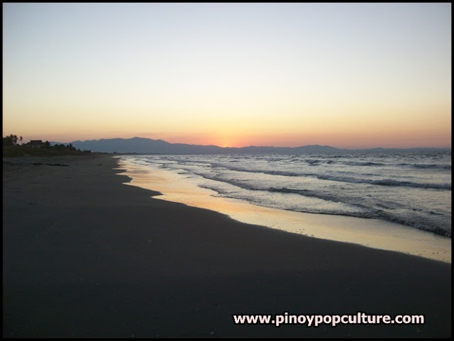
Sunset at bodies of water are nice to look at. The Manila Bay is famed for its sunsets, but I will be showing how a sunset looks like at Lingayen Gulf along the coastal town of Binmaley in Pangasinan province.
An extension of the West Philippine Sea on Luzon, the gulf stretches 56 kilometers and is surrounded by the provinces of Pangasinan and La Union. It is situated between the Cordillera Central and the Zambales Mountains. The Lingayen Gulf is drained into by the Agno River.
The strategic significance of the Lingayen Gulf was proven during the Second World War.
The Japanese 14th Army under Lieutenant General Masaharu Homma landed on the Eastern part of the gulf on December 22, 1941. They defeated a contingent of mainly Filipino and American troops, resulting in the invasion of the gulf. More than three years later, on January 9, 1945, the U.S. 6th Army staged an amphibious landing on the gulf. The initial landing saw 68,000 troops. About 203,608 troops went to the gulf in subsequent landings along a 32-kilometer beachhead.
Without going further in history, behold the sunset:

Looks very peaceful and private :)
ReplyDelete